There is no path to happiness,
happiness is in the path. Lao-Tseu
240 km of PR trailsfor a completely free discovery
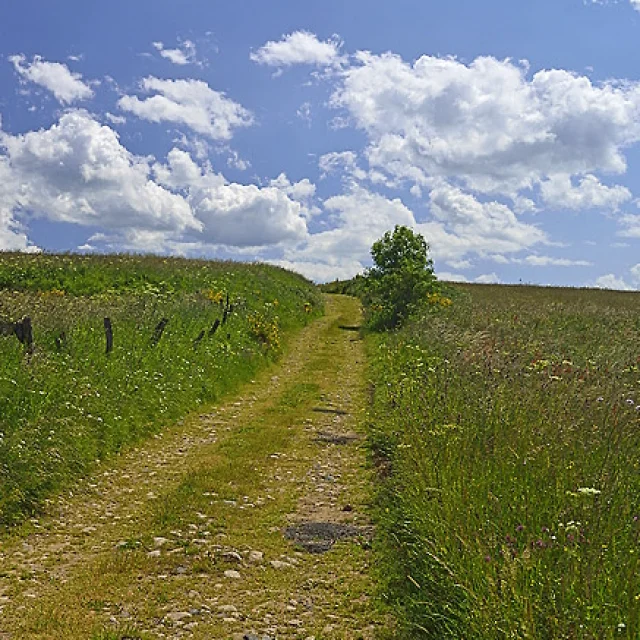 Chemin Du Plateau
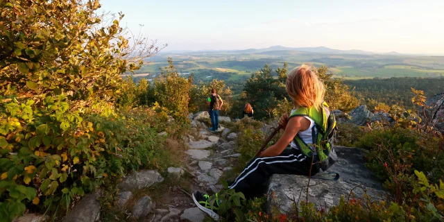
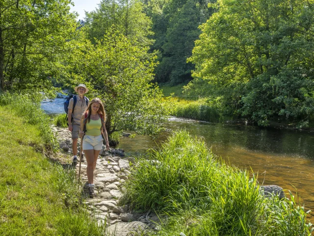
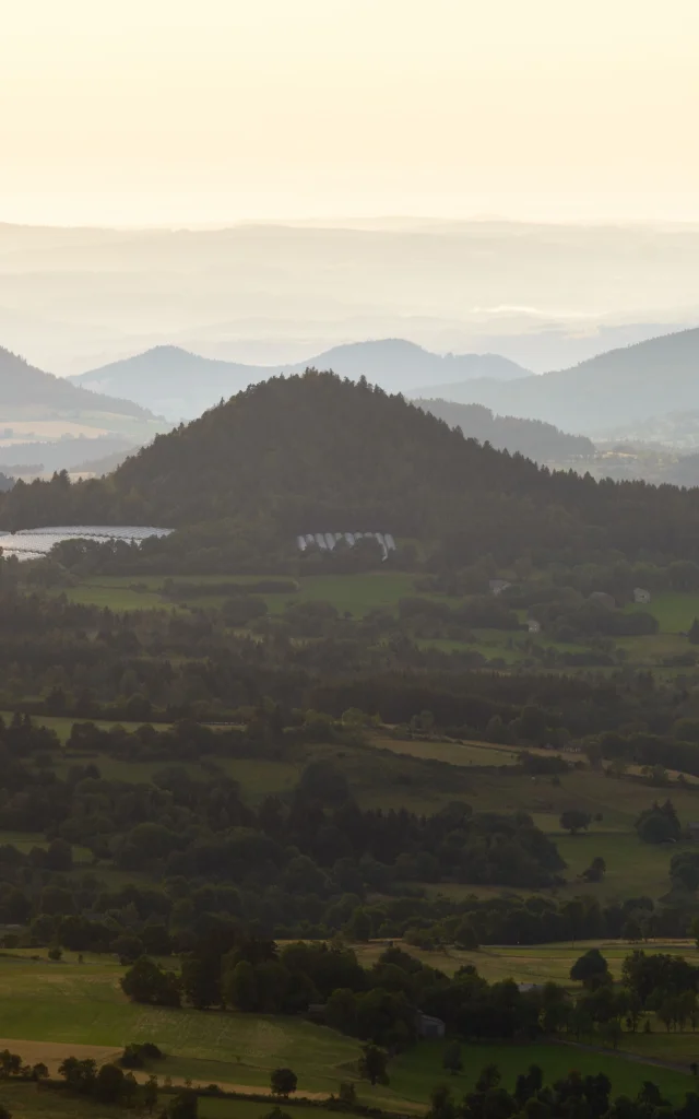
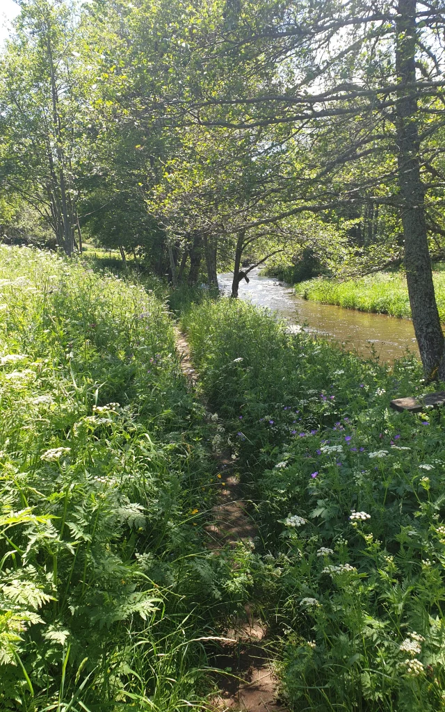
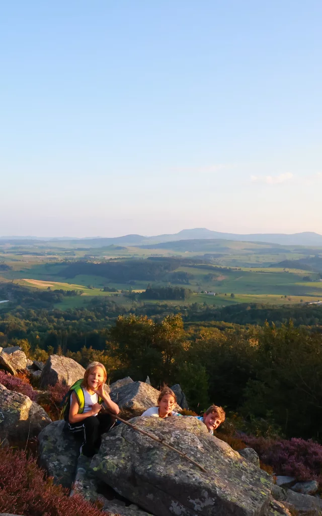
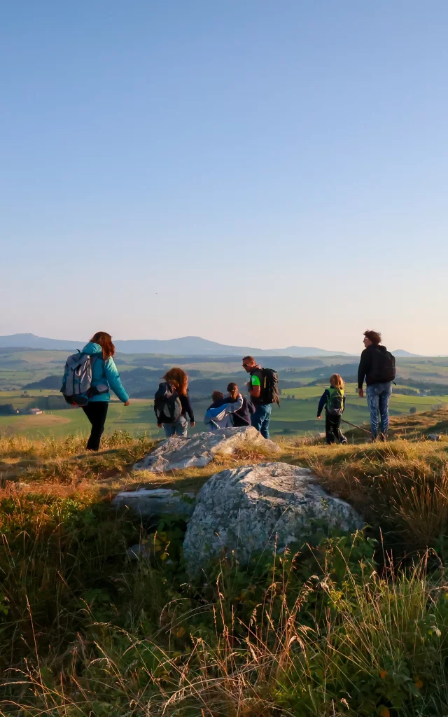
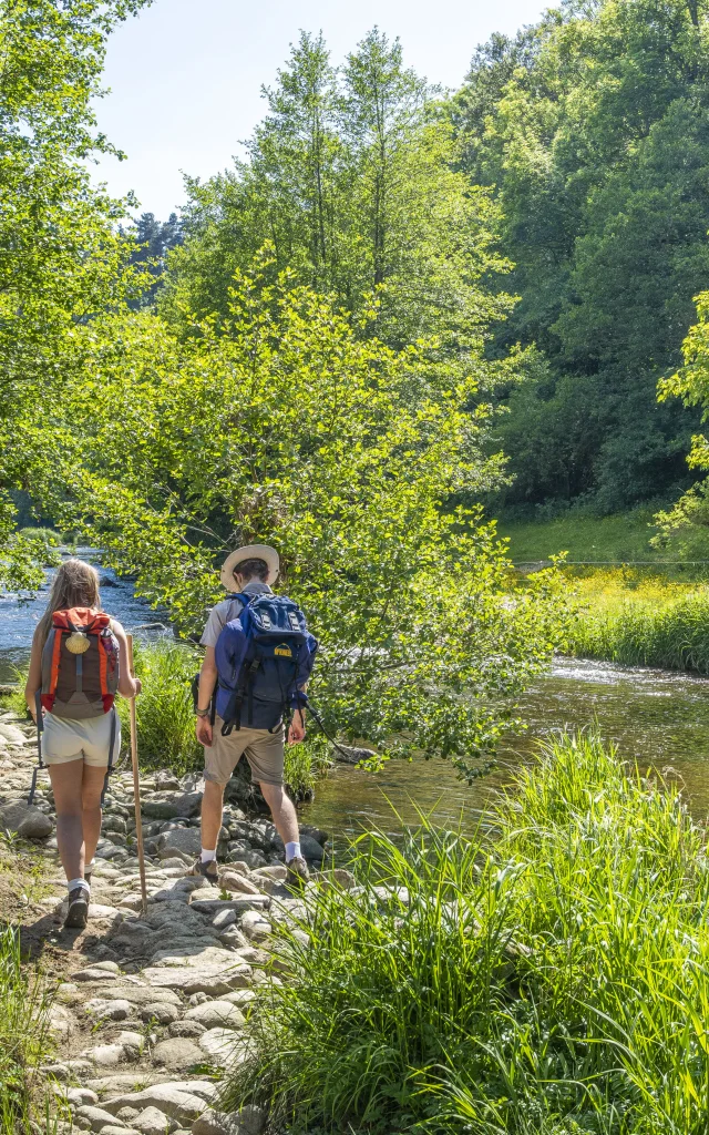
Le Haut-Lignon offers 24 PR (Promenade & Randonnées) trails, totalling some 240 km of signposted itineraries, to discover a mosaic of unusual landscapes, in a land forged by volcanic activity and shaped by the Lignon River.
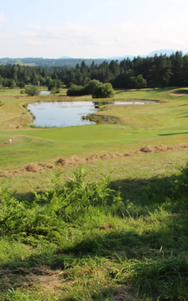
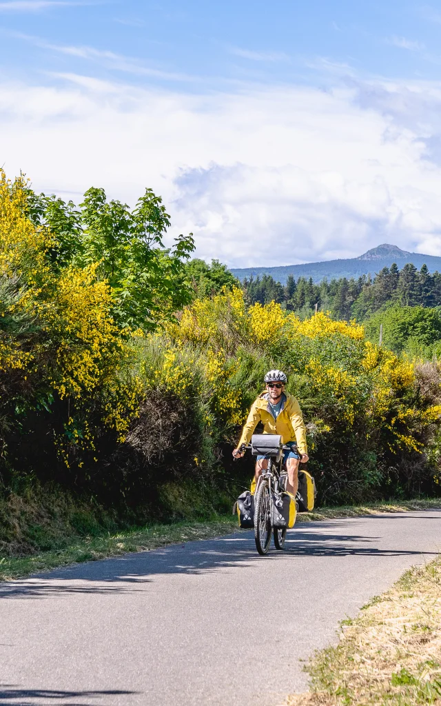
At an altitude of 1,000 m, you’ll walk on trails winding through daffodil meadows, broom forests, fir and beech forests… Always proudly watched over by the Pic du Lizieux.
These loops are all signposted in accordance with the latest standards of the Fédération Française de Randonnées Pédestres (French hiking federation ), and there is uniform signposting at the start of each PR. The routes have less than 30% tarmac. The paths are exclusively on public land (guaranteeing their longevity) and are regularly maintained.
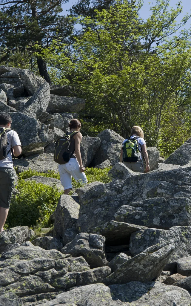
For a few hours or a whole day, with the family or among experienced hikers, there are 4 levels of difficulty to choose from, from “very easy” (less than 2 hours’ walking) to “difficult” (more than 4 hours’ walking) ….
I choose my route
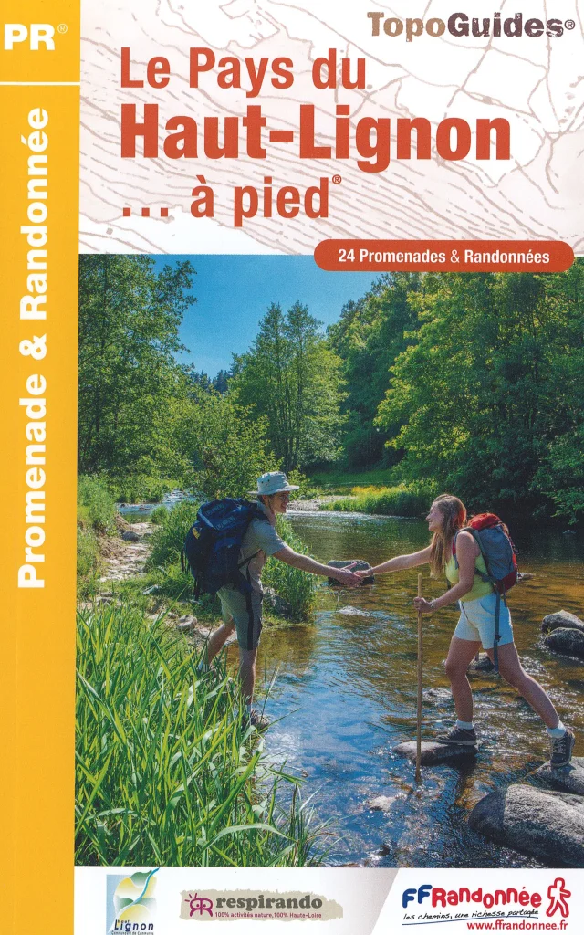 Topo Haut Lignon
Topoguide “Le pays du Haut-Lignon… à pied” (The Haut-Lignon country… on foot)
Last edition: May 2023.
The essential guide to slip easily into your rucksack. With descriptions, detailed maps and all the practical information you need for each of Le Haut-Lignon’s 24 PR trails.
On sale at our reception desks or order directly online.
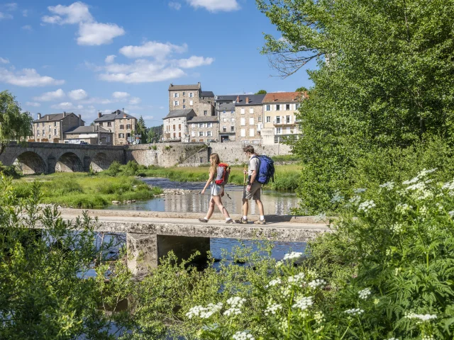
Feel like roaming?Chemins de St-Jacques & de St-Régis
Roaming, especially on foot, is the best way to switch off!
You forget all the little and big worries of everyday life, and think only of the simple yet essential things: you’ve got to keep moving, find something to eat and drink, a place to sleep… All this in a wonderful spirit of freedom, in full connection with nature!
More than a physical effort, it’s a journey that leads to self-discovery, but also to the discovery of others and the world around us.
If you’re looking for an unforgettable experience, the choice is yours! Le Haut-Lignon is criss-crossed by two Grande Randonnée trails: the GR 65, a St-Jacques-de-Compostelle route linking Geneva to Le Puy-en-Velay, and the GR 430, Chemin de St-Régis, a 110 km loop between Le Puy-en-Velay and Lalouvesc.
