The Pays du Haut-Lignon has always been sculpted by the river Le Lignon, which runs through the whole area, and in part by volcanic formations in the middle of a Natura 2000 zone.
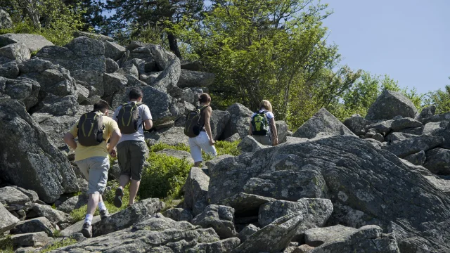
ThePic du Lizieux, culminating at 1388m, is never far away, and you can climb it by surveying its flanks through the forest and a little stony before the summit.
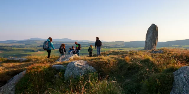
By following the PR 639 Sentier de Bonas, and the PR 33 Le Pic du Lizieux, you’ll reach the summit of a 12.7 million-year-old volcano, the Pic du Lizieux, also known as the Rocher de la Dentellière, due to its shape. A remarkable geological site. An interpretation trail Along the way, depending on the season, you’ll need to make a few stops to pick mushrooms or bilberries, and enjoy the coolness of the forest in midsummer.
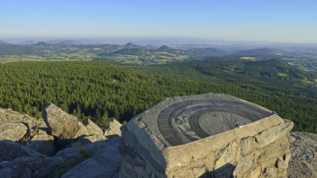
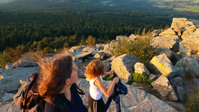
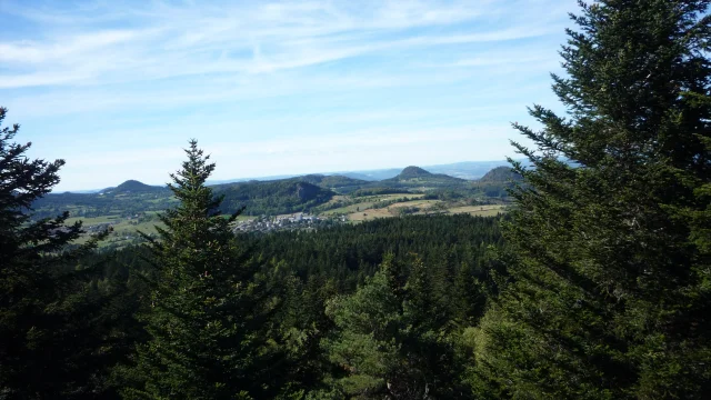
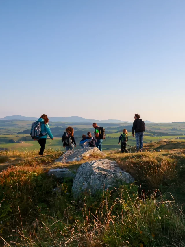
The summit of the Pic du Lizieux offers a 360° panorama of the superb sleeping volcanoes: the sucs. Two beautiful orientation tables engraved on lauze.
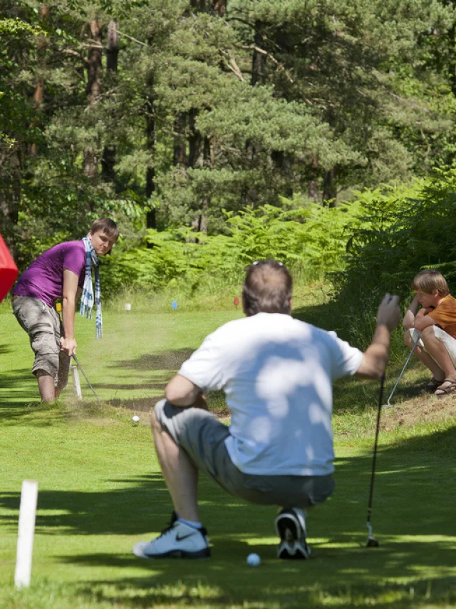
The Lizieux is also an ideal playground for sports enthusiasts. Mountain biking, VVT enduro, Nordic walking and orienteering are on the program on the Massif’s slopes and undergrowth.
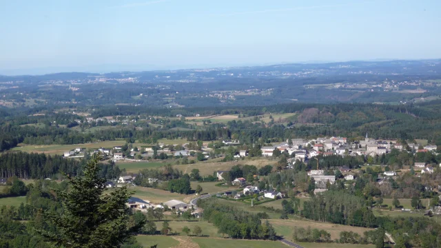
You’ll enjoy a 360° panorama: the Lignon valley to the north, the Monts du Vivarais to the east, Mont Mézenc to the south, Le Meygal to the west and, beyond that, the Massif du Pilat and Mont-Blanc…
The history of the Plateau Vivarais Lignon is still very much alive, as it was a hotbed of resistance during the Second World War. Along the way, you’ll see small cemeteries of Protestant graves.
Theheart-shapedLac Bleu, near Les Balayes, is not to be missed. Its bottom is lined with lauzes, giving it its distinctive color, which varies according to the color of the sky… (no swimming and no fishing).